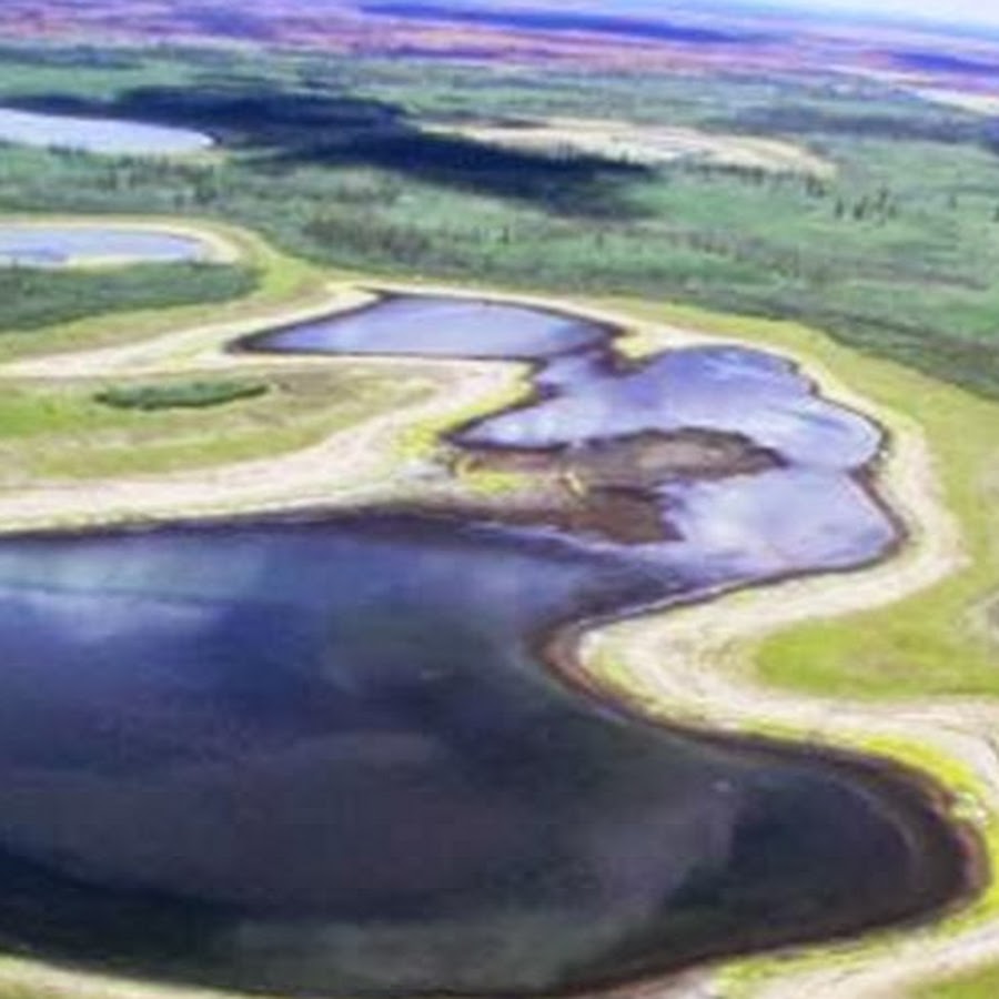
1) To use ArcGIS to explore changes in Alaska associated with climate warming in Alaska including greening of the arctic, browning of the boreal forest, mapping wildfire severity and hotspots, mapping shrinking lakes and coastal erosion, etc.
2) To learn basic image processing methods using ArcGIS including panchromatic and color image display, image fusion, image georeferencing, change detection methods, supervised and unsupervised classification, and accuracy assessment methods.
3) To learn about sensors especially applicable to vegetation applications in Alaska including color infrared aerial photography, LIDAR, IFSAR,Landsat, MODIS, and AVHRR sensors and data products..