Accessing Data for the World's Water with the SWOT Mission

Launched in December 2022, the Surface Water and Ocean Topography (SWOT) mission provides an unprecedented look at Earth's water. A joint undertaking by NASA and CNES (Centre National D'Etudes Spatiales) with contributions from CSA (the Canadian Space Agency) and the United Kingdom Space Agency, SWOT measurements for surface water extent and water body elevation for rivers, lakes, and the ocean are now publicly available for scientific research and applications.
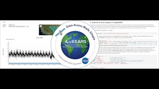
This webinar introduces SWOT and shows data users how to discover, access, and utilize SWOT data products via cloud computing and local download as well as through data transformation tools like the Highlevel Tool for Interactive Data Extraction (HiTIDE). The webinar will showcase SWOT data recipes and tutorials from NASA's Physical Oceanography Distributed Active Archive Center (PO.DAAC) Cookbook to help you get started.
*Presentation slide deck: https://go.nasa.gov/3Vm67SH
*Slide deck embedded video link: • Facing the challenges of using highr... NASA *NASA PO.DAAC: https://podaac.jpl.nasa.gov
*SWOT mission page: https://swot.jpl.nasa.gov/
*PO.DAAC SWOT data products page: https://podaac.jpl.nasa.gov/SWOT
*PO.DAAC Data Cookbook SWOT Data Tutorials https://podaac.github.io/tutorials/qu...
Chapters:
00:00 Introduction/Webinar Logistics
04:24 Overview of SWOT
09:50 SWOT Hydrology Data Products
20:16 SWOT Oceanography Products
33:00 SWOT Data Discovery: Earthdata Search
36:41 Discover, Access and Customize SWOT Data: HiTIDE Demo
43:10 SWOT Programmatic Data Access, Cloud Workflows
51:35 PO.DAAC Cookbook: SWOT Data Resources and Tutorials
55:49 Question and Answer Session