Get YouTube subscribers that watch and like your videos

Accuracy Assessment of Supervised Classification in Erdas Imagine

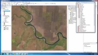
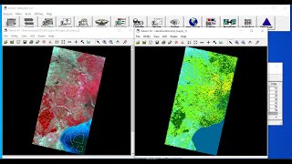
This video explains how to carry out accuracy assessment after obtaining a classified image. It includes creating points for reference using Google Earth where you can visualize what's on the ground and compare it with the results of your classification. Thereafter, generating an accuracy report showing producer's accuracy, users accuracy and the overall accuracy.


Recommended