Rock YouTube channel with real views, likes and subscribers

Acquiring Urban Data for GRASS GIS

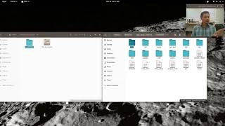
Download, import, and process geospatial data for Governor's Island in New York City. Follow along with companion tutorial at http://baharmon.github.io/urbandata...
Software: GRASS GIS
Tutorial: http://baharmon.github.io/urbandata...
Data:
ftp://ftp.gis.ny.gov/elevation/DEM/NYC_TopoBathymetric2017/be_NYC_020.tif
ftp://ftp.gis.ny.gov/elevation/DEM/NYC_TopoBathymetric2017_DSM/hh_NYC_020.tif
https://data.cityofnewyork.us/Recreat...


Recommended