Buy real YouTube subscribers. Best price and warranty.

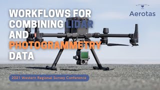
Agisoft Metashape Merge LIDAR and Photogrammetry Point Clouds for 3D GIS and Orthorectification
Integrates LIDAR Elevation Point Clouds and Photogrammetric based elevation point clouds for many photogrammetry tasks in Agisoft Metashape.
Topic :
00:00 : Using LIDAR PointClouds for Orthorectification
06:34 : Generating DTM from LIDAR Point Clouds in Metashape
09:34 : Merging LIDAR and Photogrammetric Point Clouds
If you are not yet familiar about how to use Agisoft Metashape, I already made some videos about basic photogrammetric Processing in Agisoft Metashape in this Playlist : • UAV Photogrammetry with Agisoft Metas...
Music by: www.bensound.com
#LIDAR #agisoftMetashape #photogrammetry #3DGIS


Recommended