Learn how to get Free YouTube subscribers, views and likes

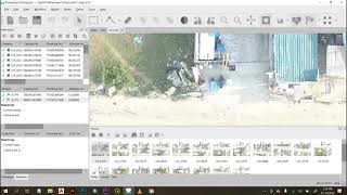
Align georeferenced photos import control points and place markers in Agisoft Metashape

In this video I'll show you how to import a set of georeferenced DNG pictures taken with a drone and align them in th eright coordinate system using also ground control points surveyed with a total station.
In this aerial data processing video tutorial you will learn:
How to import photos.
How to align photos.
How to align photos to markers.
How to optimize the alignment. using markers coordinates.
How to set the right coordinate system
Subscribe to my youtube channel for more educational video about aerial data processing ! Check also my other tutorials and courses.
The next tutorial is: • How to export Agisoft Metashape Point...


Recommended