Get free YouTube views, likes and subscribers

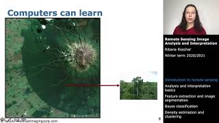
An overview of forest remote sensing technologies

Here I give a near complete overview of remote sensing technologies that can be used to measure forest ecosystems.
This one's very informationdense. So maybe take it slow and feel free to ask me questions!
The five technologies that I dive into here are:
1. Imaging
2. Radar
3. Photogrammetry
4. Hyperspectral
5. LiDAR
DISCLAIMER: I am not in any way affiliated with Pachama. I stopped working for them in Sept. 2021. The opinions and data in this video do not in any way reflect their own.


Recommended