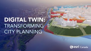
ArcGIS A Foundation for Digital Twins - Reality Capture

Digital twins allow you to design and test creation virtually so that you can understand and plan better before building them in the physical world.
Geospatial information system (GIS) technology is fundamental for digital twins. Esri's GIS interconnects information, systems, models, and behaviors through a spatial context, creating holistic digital representations of environments, assets, networks, and cities.
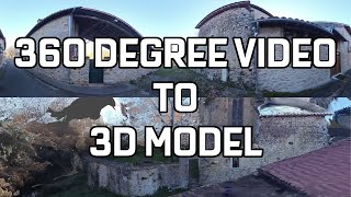
This session demonstrates how you can use a complete reality capture workflow, which enables you to jumpstart a digital twin of your infrastructure project on a blank canvas. Site Scan for ArcGIS is used as the drone mapping software for acquiring and processing drone imagery, working with resultant data products, and managing assets.
For more information, please visit: esri.com/aec
Follow us on Social Media!
Twitter: / esri
Facebook: / esrigis
LinkedIn: / esri
Instagram: / esrigram
The Science of Where: http://www.esri.com