Get real, active and permanent YouTube subscribers

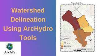
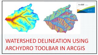
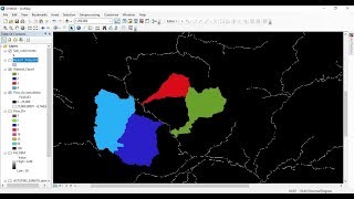
ARCGIS : How to delineate watershed using ARC HYDRO?

The purpose of this video is to illustrate, stepbystep, how to use the major functionalities available in the Arc Hydro tools for Raster Analysis to delineate watershed from DEM (Digital elevation models)
To download DEM:
The USGS Earth Explorer is a similar tool to the USGS Global Visualization Viewer (GloVis) in that users search catalogs of satellite and aerial imagery
https://earthexplorer.usgs.gov/
To download Arc Hydro:
Arc Hydro Tools are free with your ArcGIS software license. You may download version 2.0 of Arc Hydro Tools by connecting:
https://blogs.esri.com/esri/arcgis/20...
Designing Better Maps: A Guide for GIS Users
https://goo.gl/YyxQeo
Getting to Know ArcGIS
https://goo.gl/yLJvBG


Recommended