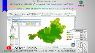
ArcGIS T18: How To Calculate % Imperviousness From LULC (1/2)

In this tutorial, I have demonstrated how to calculate percentage Imperviousness from Land Use and Land Cover dataset.
You can use the python code to reclassify as well:
def classify_landuse(gridcode):
if gridcode ==1:
return "Water"
elif gridcode ==2:
return "Developed"
elif gridcode ==4:
return "Mechanically Distributed Other Public Lands"
elif gridcode ==5:
return "Mechanically Distributed Private"
elif gridcode ==6:
return "Mining"
elif gridcode ==7:
return "Baren"
elif gridcode ==8:
return "Deciduous Forest"
elif gridcode ==9:
return "Evergreen Forest"
elif gridcode ==10:
return "Mixed Forest"
elif gridcode ==11:
return "Grassland"
elif gridcode ==12:
return "Shrubland"
elif gridcode ==13:
return "Cropland"
elif gridcode ==14:
return "Hey/Pasture Land"
elif gridcode ==15:
return "Herbaceous Wetland"
elif gridcode ==16:
return "Woody Wetland"
For Training on this ArcGIS, QGIS, ArcGIS Pro, Global Mapper: Send message to +16825537054 on WhatsApp
#Percent_Impervious
#LULC
#Land_Use_Land_Cover