Get YouTube subscribers that watch and like your videos

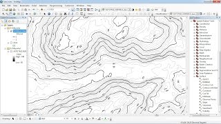
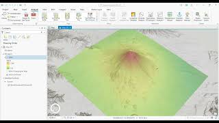
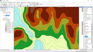
ArcMap Contours

Create contour lines from surveyed points using ArcMap and Spatial Analyst extension using problem 93 in "Civil Drafting Technology" by Madsen, Schumaker & Madsen.


Recommended