Sub4Sub network gives free YouTube subscribers

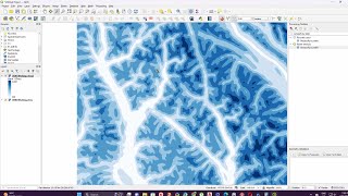
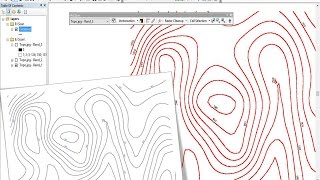
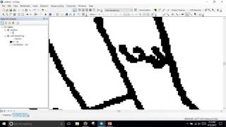
Automatic raster to vector conversion in ArcGIS - part1

In this video you will learn how to convert color image to grayscale to binary and perform raster to vector conversion automatically in ArcGIS . You will also learn how to add elevation value in contour and show these on map as label.


Recommended