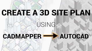
Build a 3D City in ARCHICAD using CADMAPPER SKP u0026 Google Earth Imagery

Learn how to create a 3D Site model in ARCHICAD using free GIS sources online, combined with Google Earth imagery.
Please subscribe if you like this content! http://bit.ly/2s75sGk
To ready more about this approach, check out the blog
https://www.contrabim.com/blog/3dcity...
Intro: 6:30
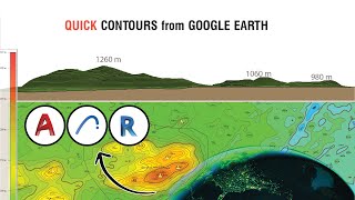
Learn how to export GIS site data 12:26
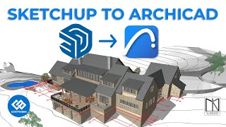
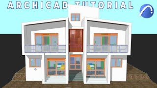
Learn how to import Sketchup into ArchiCAD 19:30
Learn how to explode, and work with Morphs 22:30
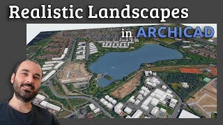
Learn how to export Google Earth Imagery: 29:28
Learn how to texture map aerial images to topo surfaces 41:05
Learn how to create topo lines 49:45
Learn how to combine morph topography 56:30
Learn how to add elevations in google earth 58:50
And a bunch of other little tips and tricks along the way.
3Dconnexion Mouse: https://amzn.to/35ZSQ6m