Burning stream network into DEM layer in QGIS

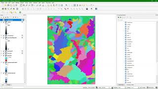
This video demonstrates how to perform catchment delineation by burning a river into a DEM to force the water to follow the main hydrography. We first download river data from OpenStreetMap and preprocess it. The GRASS r.carve algorithm from the processing toolbox is used for burning the river in the SRTM DEM.
Credits for OpenStreetMap data: © OpenStreetMap contributors
SRTM data available from USGS Earth Explorer: https://earthexplorer.usgs.gov
The catchment delineation procedure is based on Chapter 4 of the book "QGIS for Hydrological Applications Recipes for Catchment Hydrology and Water Management" by Kurt Menke and Hans van der Kwast. More information about the book can be found at the website of Locate Press: http://www.locatepress.com/hyd2
This video is part of IHE Delft OpenCourseWare. More free resources can be found at http://www.gisopencourseware.org
Subscribe to the YouTube Channel for updates!
#qgis #qgishydro