Free YouTube views likes and subscribers? Easily!

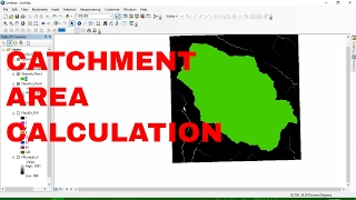
Calculate the Catchment of a Reservoir Lake in QGIS

With the QGIS and the PCRaster Tools plugin we can easily derive the upstream contributing area at a dam of a reservoir lake.
QGIS version: 3.22.14
Plugins: PCRaster Tools (https://jvdkwast.github.io/qgisproce..., OpenTopography DEM Downloader, QuickOSM
Data: SRTM, (c) OpenStreetMap Contributors
0:00 Introduction
0:37 Download SRTM with OpenTopography DEM Downloader plugin
1:08 Reproject DEM to UTM
2:03 Convert DEM to PCRaster format
2:35 Rasterize dam line
3:32 Convert dam raster to PCRaster format
4:14 Calculate flow accumulation with the accuflux tool
6:23 Calculate maximum flow accumulation at dam
7:53 Delineate the catchment of the lake
#QGIS #PCRaster #QGISHydro


Recommended