Calculate the volume of lake in ArcGis

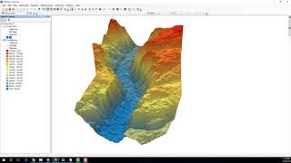
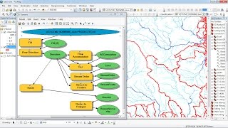
To estimate the storage capacity of water bodies like lakes, ponds and reservoirs, can be performed through indirect methods, which calculate the volume of water retained through cartographic information, bathymetry and a digital elevation model are required for the calculation is performed with the tools of ArcGIS 3D Analyst extension.
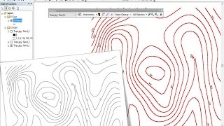
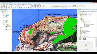
In this example, to determine the volume of water in a lake, open the contours of the study area (optional calculating the reservoir).
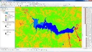
The volume represents the region between the surface and the space above or below the polygon features based on the selection made in the Reference Plane parameter:
Calculate above the plane—Volume is calculated between the plane and the underside of the surface.
Calculate below the plane—Volume is calculated between the plane and the topside of the surface. The surface area for the same portion of the surface is also calculated.
To see how to calculate the volume of mountain example of Mayon Volcano: • Arcgis calculate the volume of mounta...
To see more videos visit website : http://mondegeospatial.com/calculate...