A little secret to rock your YouTube subscribers

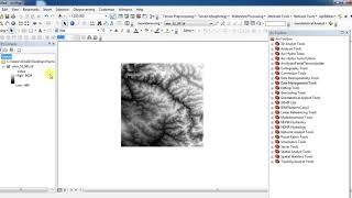
Calculating the Area of the Raster data in ArcGIS

An easy way to find the area is to right click the output raster that you just created,
First Open the attribute table Count for the pixels that are displayed. Click the Source tab and note the cell size and linear units. Now just multiply the cellsize by the count to get the area in square units of whatever the linear units were.


Recommended