Get free YouTube views, likes and subscribers

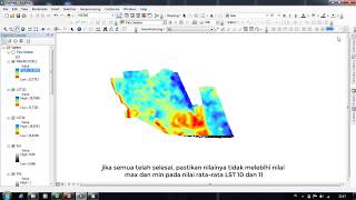
Calculation of Land Surface Temperature LST of Landsat 8 and 9 in ArcGIS
How to calculate LST from Landsat 8/9 in ArcGIS? Each of the steps are clearly shown here:
How to calculate Land Surface Temperature with Landsat 8 satellite images
1. TOA (L) = ML * Qcal + AL
2. BT = (K2 / (ln (K1 / L) + 1)) − 273.15.
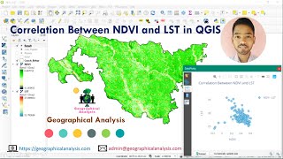
3. NDVI = (Band 5 – Band 4) / (Band 5 + Band 4)
4. Pv = Square ((NDVI – NDVImin) / (NDVImax – NDVImin))
5. ε = 0.004 * Pv + 0.986.
6. LST = (BT / (1 + (0.00115 * BT / 1.4388) * Ln(ε)))
#lst
#landsurfacetemparature
#ndvi
#Pv
#TOA
#BT


Recommended


