Secret weapon how to promote your YouTube channel

Change the Coordinate System of Raster in ArcGIS

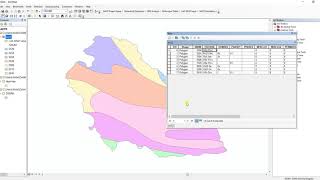
Welcome, Dear Subscribers and Viewers @TerraSpatial This video tutorial focuses on changing the coordinate system of Raster layer using Project Raster tool in ArcGIS. Basically, it Transforms the raster dataset from one projection to another projection.


Recommended