YouTube magic that brings views, likes and suibscribers

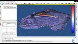
Cloud Compare 3: Creation of slices and sections

In this video you will learn how to measure points/distances, extract cloud points along sections, create section profiles (polylines) from sections and create multiple slices from clouds.
This video was created as part of the Remote Learning Pathway activities for students of LARCH7031 Extreme Territories Studio School of Architecture and Built Environment. Univeristy of Adelaide: More info: https://bartesaghikoc.wixsite.com/aca...
Acknowledgements: The data used in this video was derived from LiDAR point clouds kindly provided by Aerometrex for teaching purposes.


Recommended