Sub4Sub network gives free YouTube subscribers

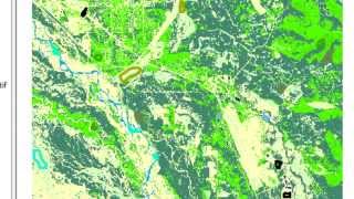
Co-registration of Historic Imagery

In this session you will coregister a 1978 color infrared aerial photograph to an image from last summer that is in the UTM coordinate system. The georeferencing in Arcmap is appropriate ideally for aerial photographs with no relief displacement or tilt.


Recommended