Grow your YouTube views, likes and subscribers for free

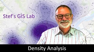
Creating Density Maps From Point Location Data
In this session we create a fishnet polygonbased density layer and a rasterbased density layer where the density is the count of lightning strikes detected within each 100km square. The 60,000+ lightning strikes were from June 2013 from a groundbased lightning detection sensor network in Alaska and western Canada.


Recommended