Secret weapon how to promote your YouTube channel

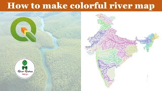
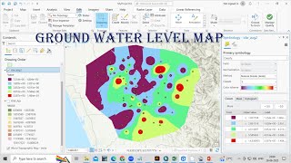
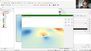
Creating Groundwater Level Maps with QGIS: IDW vs. Thin Plate Spline | Spatial Interpolation

Spatial interpolation is a widely employed method in hydrology and Geology to generate groundwater level maps. It serves the purpose of estimating groundwater levels in areas lacking direct data, utilizing information from nearby wells. Various spatial interpolation techniques are at your disposal. In this video, we demonstrate the creation of groundwater level maps using two distinct methods: Inverse Distance Weighting (IDW) and Thin Plate Spline within the QGIS software.
Additionally, we provide a tutorial on how to install the SAGA plugin in QGIS 3.0 or newer. Watch the tutorial here: [ • Installing SAGA GIS in QGIS 3.0 or above ]


Recommended