Get free YouTube views, likes and subscribers

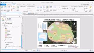
Creating Road Polygons from Lines - Using the Buffer Tool in ArcGIS Pro

When is a line not a line? When it turns into a polygon! This question is all about scale. At a national level, roads are always line features, but if you are mapping at the scale of an individual school for example, roads can be mapped as polygons. However lines are easier to digitise! So here we use a line feature and the buffer tool to convert our road centrelines into polygons. It's a bit of a cheat, but works well if you don't need to have 100% precision or accuracy. Otherwise you probably should just go the slow route and digitise the full polygon :)


Recommended