Get free YouTube views, likes and subscribers

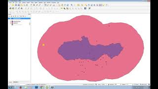
Dealing with NoData in Discrete Rasters using QGIS

NoData cells in rasters are cells with a value that is recognised by GIS software and tools as values not to use in calculations and visualisations.
This video covers:
0:00 Intro
0:48 Hiding values for visualisation
1:52 Assigning NoData values to rasters
3:10 Calculating the number of data cells
4:16 Replace NoData cells with values from other raster layers
The Fill Nodata cells tool from the Processing Toolbox is not covered in the video, but can be used to replace a nodata cell with a constant.
Backdrop layer (c) OpenStreetMap Contributors
#QGIS #PCRaster


Recommended