Grow your YouTube views, likes and subscribers for free

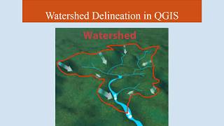
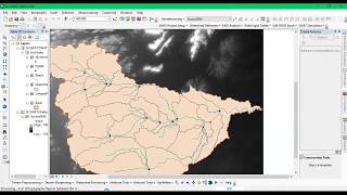
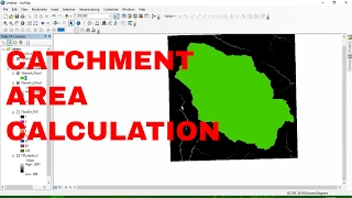
Deriving River Network and Catchments and Watershed from a DEM using QGIS
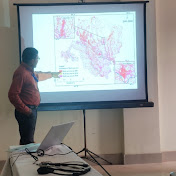
In this tutorial, you will learn how to derive a river network, strahler stream order, watershed deviation, catchment area through using a DEM of the river.
#catchment
#delineation
#pour_point
#dem
#catchment
#demarcation
#delineation
#strahler_order
#saga
#upslope_area
#arcgis
#hydrologyhy
#outlet


Recommended