Secret weapon how to promote your YouTube channel

Displaying DEMs to Show Hydrologic Features: Part 2

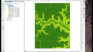
Exercise 1, Part 2 of 2, of the Hydrologic Applications module. Learn how to use the Topographic Position Index to highlight hydrologic features.
This is part of the "Conservation Applications of LiDAR Data" series. Additional lectures, exercises and other training materials are at z.umn.edu/lidar.
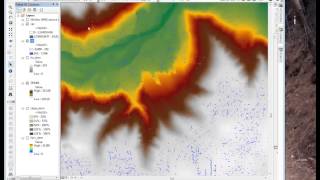
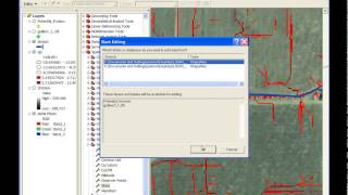
Time points: 0:30 Topographic Position Index (TPI); 4:38 calculating TPI without Land Facet Corridor Tools; 5:20 TPI raster integration; 6:25 Using TPI with "Fire" display.


Recommended