YouTube magic that brings views, likes and suibscribers

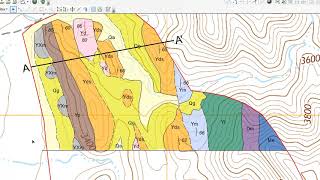
Displaying structural geology measurements using ArcGIS Pro (Otago Geology)

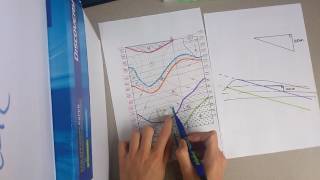
This video demonstrates how to display structural geology measurements, such as strike and dip of bedding and lineations, on maps using ArcGIS Pro.
https://www.otago.ac.nz/geology/
@OtagoGeology
CHAPTERS
00:00 – Introduction
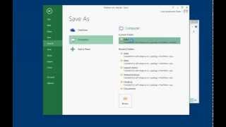
00:18 – Create a new feature class
01:46 – Add point data to map
01:58 – Attribute point with strike and dip etc
03:38 – Import a style (geological symbols)
04:12 – Apply the style to your data
05:39 – Rotate symbols by strike/trend
05:55 – Set Reference scale
06:23 – Check/view data attributes
07:29 – Label with dip/plunge
10:07 – Wrap up


Recommended