Download Free Taluk u0026 District Boundary from Survey of India (SOI) | India

In this video tutorial, I will show how to download Free Taluk and District level Boundaries from the Survey of India (SOI) Website. This data is available at the National level; you can download it for free for any state in India. The boundaries are provided in shapefile format for download.
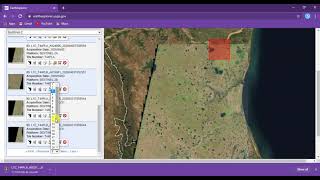
Official Website Onlinemaps Survey of India
https://onlinemaps.surveyofindia.gov.in/
About Survey of India
The Survey of India (SOI) is one of the oldest organized surveying institutions in the world. The organization was established in 1767, with a history of more than 250 years and rich heritage of accurate geospatial information. Preparation of uptodate topographical maps of India is the primary role of SoI. The Survey of India also acts as an adviser to Government of India on all survey related matters.
Join this channel to get access to perks:
/ @terraspatial
#SurveyofIndia #Taluk #District #Boundary #Free #Download #shapefile #geospatialdata #governmentofindia