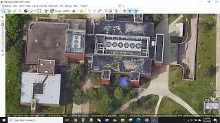
Download High-Resolution Satellite Imagery For Free Upto 15cm Using SAS Planet ||

Hello everyone, In this video, we will learn how to download highresolution satellite imagery for free up to 15cm resolution.
Website Link: https://gisenglish.geojamal.com/2018/...
Do visit my website:
https://www.parajuligaurav.com.np/
My Other Videos
Do watch my other videos:
Top 10 GIS Software Applications In 2022
• Top 10 GIS Software Applications In 2...
How To Create A Contour Using DEM Data
• How To Create A Contour Using DEM Dat...
How To Create A Covid19 Map Using QGIS
• How To Create A Covid19 Map Using QG...
Supervised Classification Using ArcGIS:
• Supervised Classification Using ArcGI...
How To Create A Map With OSM Data Using QGIS:
• How To Create A Map With OSM Data Usi...
How to Create A Choropleth Map Using Leaflet:
• How To Create A Choropleth Map Using ...
Create A Map Layer Using Leaflet:
• Leaflet JS Tutorial || Create A Map L...
Add A Marker To The Map Layer:
• Leaflet JS Tutorial || Add A Marker T...
Use Different Map Tile Layer In Leaflet:
• Leaflet JS Tutorial || Use Different ...
Add Google Map To Your Website:
• Leaflet JS Tutorial || Add Google Map...
Layer Group And Control In Leaflet:
• Leaflet JS Tutorial || Layer Group An...
Add Shapefile in leaflet:
• Leaflet JS Tutorial || Add Shapefile ...
How to add GeoJSON File in leaflet:
• Leaflet JS Tutorial || Use GeoJSON Wi...
#satellite #gis #gistutorial #satelliteimagery #sasplanet
Keywords: satellite imagery, download satellite imagery, high resolution satellite image