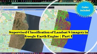
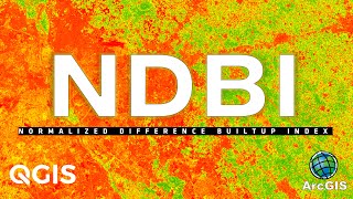
Downloading Normalized Difference Built-up Index (NDBI) image using Landsat 8 | Google Earth Engine

In this video tutorial you will learn how to download Normalized Difference Builtup Index (NDBI) image for any region using Google Earth Engine. The data used for the analysis is Landsat 8.
Join this channel to get access to perks:
/ @terraspatial
Code link: https://code.earthengine.google.com/f...
More Information:
Normalized Difference Builtup Index is used for identifying the builtup or urban areas in an image. The NDBI values range between 1 and +1, with different ranges representing different land cover types:
1. Negative values (approximately 1 to 0): These values typically represent nonbuiltup or natural areas such as water bodies, vegetation, and bare soil. The lower the value, the less likely it is to be builtup
2. Values close to zero: Values around zero indicate a transition zone between builtup and nonbuiltup areas. It can represent areas with a mix of urban and natural features.
3. Positive values (approximately 0 to +1): Positive NDBI values generally correspond to builtup or urban areas, with higher values indicating a higher degree of urbanization. The closer the value is to +1, the more likely it is to be a densely builtup area.
#googleearthengine #NDBI #landsat8 #builtupindex