DragonOS FocalX Offline Maps w/ QGIS + GeoServer (Signal Server GUI PhotonMap R28)

In this video we'll take a look at adding QGIS and two additional plugins to an upcoming DragonOS FocalX R28 in order to create a GeoTIFF map file for GeoServer.
*for some reason there’s audio distortion after making small edits to the video, unfortunately on my local copy too.
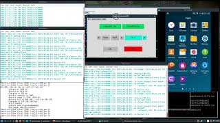
I also show the Dragon Spectrum Awareness Manager, which currently is just used to help start up and configure the various applications talked about in this video.
After creating a GeoTIFF file for a certain area, I show how to load it into GeoServer. Currently manual configuration to both Photon Map and DFAggregator's files are needed to add or remove map layers. Once a map layer is added, simply restarting the application will then allow it to pull the corresponding layers from GeoServer.
Towards the end of the video I show how to pull a KMZ plot from Photon Map and show it on the map created in the beginning of the video. Once I get a few more things figured out, it should be fairly easily to create maps and have them available for use with DFAggregator and the KrakenSDR for complete offline radio direction finding.
Follow @cemaxecuter on Twitter for more DragonOS and SDR info.
Become a patron @ / cemaxecuter