The easiest way to skyrocket your YouTube subscribers

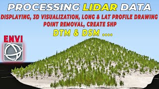
ENVI IDL WorkFlow

We use ENVI and ArcGIS techniques to produce quality tutorials for image processing and remote sensing. We share the basics and expert level knowledge of these softwares to help the community.


Recommended