Get real, active and permanent YouTube subscribers

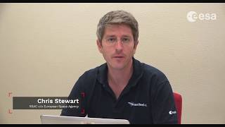
ESA Echoes in Space - Land: Urban Footprint mapping with Sentinel-1

Dr. Chris Stewart explains how to derive an urban footrpint map from Sentinel1 images, using SNAP.
SNAP: http://step.esa.int/main/download/
Download Sentinel images: https://scihub.copernicus.eu/dhus/
Echoes in Space is the first Massive Open Online Course on Radar Remote Sensing, funded by the European Space Agency (ESA).
Register now: https://eocollege.org
Echoes from space will take you on a journey through the exciting world of Radar Remote Sensing. Learn the basics that will help you to understand where this technology is coming from, how the images are acquired and which manifold applications already use Radar Remote Sensing to help protect our planet.


Recommended