Buy real YouTube subscribers. Best price and warranty.

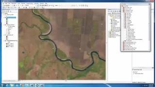
Estimating Classification Accuracy Using ArcGIS

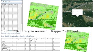
Classification accuracy is assessed by comparing ground truth classes with the predicted pixel class at each ground truth location. Typically results are expressed in an error matrix which shows the overall and class accuracies and number of ground truth points within each class. We use three geoprocessing tools in ArcGIS to accomplish this: Extract Values to Points, Frequency, and Pivot Table.


Recommended