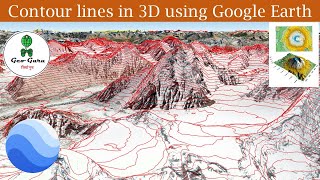
EXPORT your 3D QGIS project for the WEB: Qgis2Three.js

Let's export your QGIS 3 project for the Web using an awesome plugin called QGIS2Three.js!
Create a complete geospatial data visualization using QGIS and a few clicks: it's easy and very fast to do.
+++ What is QGIS?
QGIS is a professional GIS application that is built on top of and proud to be itself Free and Open Source Software (FOSS).
+++ Tales from the GIS?
Tales from the GIS is a geospatial journey into the fascinating world of Geographic Information Systems, telling you stories about nature and world.
+++Who am I?
Tales from the GIS is hosted by Eduard Roccatello. I love working on innovative solutions: things that change the status quo about spatial data development and usage. My day is full of math and big data. I like to be surrounded by interesting and skilled people. I really do care about user experience and software usability.
Music BenSound.com
#gis #geospatial #qgis
#geospatialprogramming #dataviz #geospatialdevelopers