Secret weapon how to promote your YouTube channel

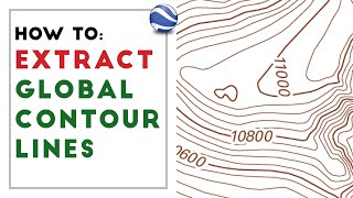
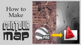
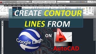
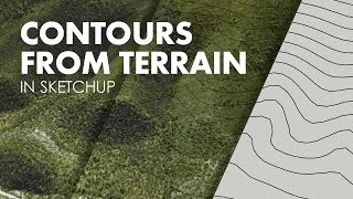
extract contour lines from Google Earth

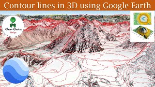
In this Video you will learn how to extract elevation from google earth and you use them to create contours in qgis or arcgis.
This method is useful for creating a quick DEM ( digital elevation models) for visualisation purposes.
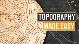
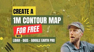
you can also get a ready raster topography (DEM) or convert it into contours using the method in the video below :
• Download the Topography for any place...
✅Get All my courses for a Flat Price here :
https://bit.ly/geologybundle
✅Get my trainings here :
https://geotrainings.com/
✅Support me on Patreon here :
/ mining_geologist
✅Buy me a Coffee here ☺
https://www.buymeacoffee.com/MiningGe...
✅Follow me on Facebook
/ mininggeologists


Recommended