Find and Style Detailed Water Polygons for your Maps

Finding reasonably detailed, current, map content like water areas can be a real challenge to map makers. Here's how you can find (and download) pretty high res, timely, land cover data, and convert it to vector polygons for your map. Plus a bunch of different ways to style water in ArcGIS Pro, if you are into that.
Here's the app where you can explore, and download, land cover data: https://livingatlas.arcgis.com/landco...
0:00 Large scale vs small scale
0:42 Sentinel2 Land Cover Explorer
1:13 Downloading land cover data
1:33 Isolating a section of the image
2:44 Optional step to extract only water (or whatever)
3:07 Converting the raster image to polygons
3:31 Filtering polygons to only water
4:33 Styling: wavy water fill
5:21 Styling: coastal gradients
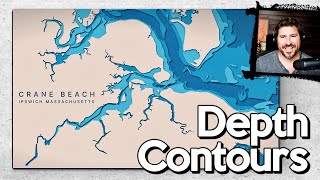
6:01 Styling: rippled water rings
7:13 Styling: beveled edge water
7:59 Styling: stylistic pattern fill
8:30 Other land cover features you can use this on
Music: Venkatesananda by Jesse Gallagher
Check out some other social channels where I share howto's and updates on random map adventures:
http://adventuresinmapping.com
https://www.esri.com/arcgisblog/auth...
/ john_m_nelson
/ johnmnelson
/ johnmnelson