Grow your YouTube views, likes and subscribers for free

Fix Topological and Geometry Errors using QGIS and Mapshaper

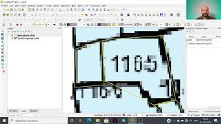
This video shows how to fix messy vector data and create clean topologically correct datasets.
Data Credit: Kenya Admin4 boundaries, Central Bureau of Statistics(CBS), PCODES developed. Downloaded from https://data.humdata.org/dataset/keny...
The types of errors that we will be fixing are
Sliver Polygons (Gaps)
Overlapping Polygons
Invalid Geometries
Line Intersections
Learn more about Mapshaper https://spatialthoughts.com/category/...


Recommended