Flood vulnerability Mapping and Flood 3D simulation Modeling an area using ArcGIS in Bangla

#3D_Simulation_Modeling, #FloodVulnerabilityMapping, #PleaseSubscribe, #PleaseShare,
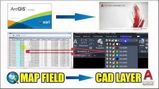
This video shows Flood 3D simulation Modeling an area using ArcGIS and Flood vulnerability Mapping in arcgis. Watch the full video and learn a new things about Flood vulnerability Mapping and Flood 3D simulation Modeling an area using ArcGIS.
If you'll have any queries about my videos which I have uploaded, please feel free to share your queries with me in the comment section.
Notify me if I have given any wrong information about the Geo referencing Tutorials.
Next video is coming soon
DON'T FORGET TO SUBSCRIBE, LIKE AND SHARE IT..
Others necessary Tutorial:
How to create stream order and Drainage density map in ArcGIS: • How to create stream order and Draina...
How to download shape file data GIS for any country: • How to download shapefile data GIS fo...
How to Create DEM from Google Earth: • How to Create DEM from Google Earth
How To Import GIS Shape files in Google Earth Pro: • How To Import GIS Shapefiles in Googl...
How to Georeference a Google earth image in ArcMap: • How to Georeference a Google earth im...
How to download climate data for Bangladesh: • How to download climate data for Bang...
How to download SRTM DEM from Open topography: • How to download SRTM DEM from Open to...
Tags:
#simulation,#flood,#arcgis,#arcgis_10.8, #model,#flood3d,#arcscene,#tutorial,#flood_plain,#digital_elevation_model,#dem,#hydrology,#data,#arcmap,#arcgis,#spatial,#analysis,#spatial_analysis,#simulation _flood_in_arcgis10.8,#esri