Generate and label Contours lines in ArcGIS

How to Generate Contours in ArcGIS for Desktop
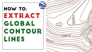
This tutorial will show you how to generate contour lines from the LiDAR Image Services.
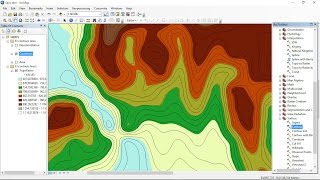
using ArcGIS for Desktop (requires Spatial Analyst extension). After the contour lines are generated, you will learn how to build an index and symbolize the lines appropriately. What are contour lines? Contour lines are vector features used to represent the landscape in a relatively familiar way. A contour is a line through all contiguous points of equal value. When are contour lines appropriate? Contour lines are used as a familiar media for representing the elevations of a land surface above sea level. These lines are typically used for basemaps and general topographic representation; contour lines do this appropriately. Contours should not, on the other hand, be used for analyzing the surface elevations above and beyond for aesthetic purposes.
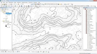
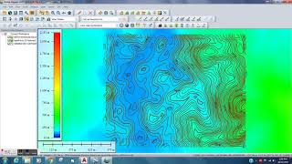
In order to create smooth contour lines, we first need to smooth our DEM to ensure the vector output is datadriven. The most efficient way of doing this in ArcGIS is by using the Focal Statistics tool in the Spatial Analyst toolbox.
download free DEM 12 to 5 meters (world): • download DEM 12 to 5 meters (world)
website: http://www.made4geek.com/