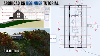
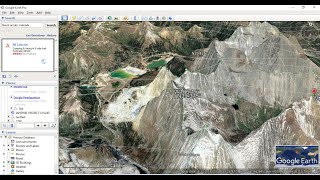
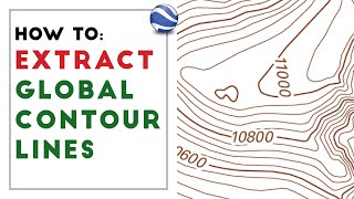
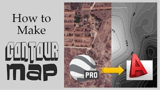
Generate Easily Google Earth Contours to AutoCAD- Revit-ArchiCAD

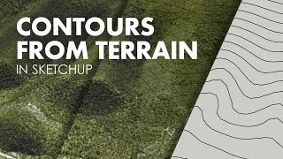
This video demonstrates four steps to quickly generate contours from google earth to AutoCAD and use this information to model the 3D site topography in a 3D software such as ArchiCAD and Revit.
Project Files; https://tinyurl.com/mxk6bvs6
ArchiCAD Resources: https://msbim.store/
MSBIM ArchiCAD Pro Template: https://rb.gy/iec0i
✅ Join Our Community WhatsApp Group:
https://chat.whatsapp.com/Bl7sMuiMtQ2...
⚡Free PDF Template Guide download:
https://mesolight.gumroad.com/l/lcqoa
⚡ARCHICAD FULL COURSE of 43 videos and 42 downloadable files:
https://mesolight.gumroad.com/l/vlkfz'>https://mesolight.gumroad.com/l/vlkfz
https://mesolight.gumroad.com/l/vlkfz'>https://mesolight.gumroad.com/l/vlkfz
To receive a new video notification every alternate Tuesday and Thursday please subscribe and press the bell icon If you learned something from this video then please Like & Share