Learn how to get Free YouTube subscribers, views and likes

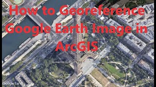
Geo referencing and Digitizing in ArcGIS I Google Earth Pro image Digitizing

This tutorial will help you to learn all about digitizing and georeferencing using Google Earth Pro and ArcGIS. GEP was used for downloaded Image and ArcGIS was used for digitizing and georeferencing. Happy Learning.
01:00 Learning Outcome
04:00 Download the Google Earth Image
07:20 Georeferencing the Downloaded Image
14:20 Digitizing the Georeferenced Image
18:00 Input the relevant Data in the Attribute table
24:00 Map layout Design
30:00 Export the Map
#ArcGIS; #Digitizing; #Georeferencing: #Google Earth Pro


Recommended