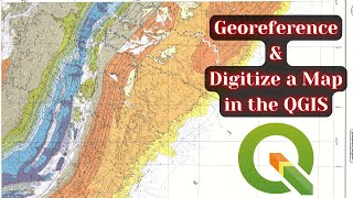
Georeference a Scanned Map in QGIS

This video covers sections 1.1 1.6 of the book QGIS for Hydrological Applications, Second Edition, by Hans van der Kwast and Kurt Menke. You'll learn how to georeference a scanned map. You'll set the transformation parameters and select the ground control points. You'll learn to correct ground control points and to change the transformation to achieve more accurate results.
Map: https://en.m.wikipedia.org/wiki/File:...
The book is available at Locate Press: https://locatepress.com/book/hyd2. By purchasing the book you support IHE Delft students from the global south to join FOSS4G and QGIS events.
IHE Delft Institute for Water Education offers online and facetoface courses on QGIS (https://www.unihe.org/qgishydrologi....
For consultancy, training and coaching check QWASTGIS: http://www.qwastgis.com.
Free course materials are available at the GIS OpenCourseWare platform: http://www.gisopencourseware.org.
#QGIS #QGISHydro