Sign In
Home
Popular
News
Popular now
New music
Cute animals
Trending today
Hot trailers
Popular music
Comedy clips
New tech
Popular sports
Learn new
Secret weapon how to promote your YouTube channel
Animals
Babies
Beautiful
Cats
Creative
Cute
Dogs
Educational
Funny
Heartwarming
Holidays
Incredible
Inspirational
Interesting
Love
Music
Nature
Oops
Performance
Pranks
Science
Sports
Technology
Unexpected
Best Kitten Show
Dog Videos
Cover Music Charts
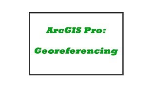
Georeferencing a Historical Air Photo in ArcGIS Pro
Back
Follow
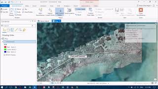
Image to Basemap Georeferencing in ArcGIS Pro of historical aerial photography
posted by
Fixtoinidign3
[ f ] Share this video on Facebook
ArcGIS Pro: Tips and Tricks
Georeferencing Historical Aerial Photography in ArcGIS 10.1
Getting Started with ArcGIS Pro
How to Georeference an Image or a Scanned Map using ArcMap
Downloading Using and Analyzing Lidar Data in ArcGIS Pro
Georeferencing an Image in ArcGIS Pro
Operations Dashboard for ArcGIS: An Introduction
An Absolute Beginner's Guide to QGIS 3
Georeferencing a DWG in ArcGIS Pro
Learn How to Georeference Your Data in ArcGIS Pro
ArcMap Tutorial: How to Georeference Aerial Photos
ArcGIS Pro Map Series
The Basics of GIS ArcGIS pro
ArcGIS Pro: Analysis Overview
Creating 3D maps in QGIS
Quick Intro to ArcGIS Pro
georeference a scanned image in ArcGIS Pro
Quick & Easy ArcMap to ArcGIS Pro: First Steps to Learn the Basics
Georeferencing a JPEG on ArcGIS Pro Tutorial
Calculating Areas in ArcGIS Pro Q:How many times bigger is Alaska than Texas? A:Which Projection!
Recommended
15 Voices To Make Song Sound Different
03:17
Why Do We See More Clearly When We Squint Our Eyes?
02:11
22 Kitchen Tricks to Save Over 22 Minutes of Cooking!
12:37
A Dozen Signs You're Too Sweet For This World
08:22
And What Would Your Cat Do In The Bathroom?
01:13
World's Longest Domino Line Now Rebuilt!
06:44
Your New Year's Resolutions: New Edition
04:36
5 Shirt Hacks Every Man Should Know
01:25