Secret sauce that brings YouTube followers, views, likes

Georeferencing a historical image using QGIS

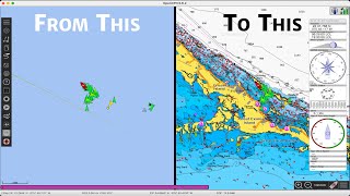
Step by step georefencing an image using QGIS 3.10.
I specifically georeference a 2002 aerial photograph using a high resolution orthoimage with a NC State Projection EPSG 2264 as my reference image.
Both the aerial photograph and the high resolution image were obtained from the USGS Earth Explorer.
I present the output of a 1st Polynomial and a 2nd Polynomial model.


Recommended