Georeferencing a scanned map and digitizing vectors in QGIS3

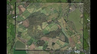
This video shows how to georeference a scanned map and to use it as a backdrop for digitizing points, lines and polygon vectors. The vector layers are stored in a GeoPackage, including their styles.
This video is part of IHE Delft OpenCourseWare. More free resources can be found at http://www.gisopencourseware.org
For an overview of our GIS courses and info on tailor made trainings and advise see our folder: https://www.unihe.org/sites/default/...
More information about the book "QGIS for Hydrological Applications Recipes for Catchment Hydrology and Water Management" by Kurt Menke and Hans van der Kwast can be found at the website of Locate Press: http://www.locatepress.com/hyd
IHE Delft and Nieuwland Geoinformatie offer an online course. It includes support from experienced trainers and you'll get the official QGIS certificate after completion. More info at: http://www.learninggis.com
Subscribe to the YouTube Channel for updates!