Free YouTube views likes and subscribers? Easily!

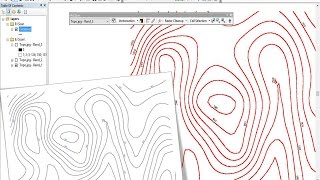
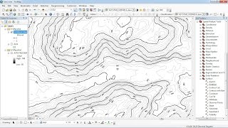
Georeferencing in ArcGIS

Georeferencing is the process of assigning realworld coordinates to each pixel of the raster. Many times these coordinates are obtained by doing field surveys collecting coordinates with a GPS device for few easily identifiable features in the image or map.
This video describes, how to georeference a toposheet or image of a map very simply. Watch the video and follow the steps to georeference your map. This video also explains, how to assign coordinates to a toposheet and change the units from decimal degrees to degree minute and second format.
For any doubts Comment below in the box. Mention your valuable suggestions in the comment box.
if you like the video, don't forget to subscribe the channel.


Recommended