Get free YouTube views, likes and subscribers

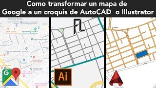
Georeferencing Maps in AutoCAD

In this tutorial, you will learn how to assign correct geographical properties to an image in AutoCAD which is known as georeferencing. In addition to using AutoCAD, we will be using QGIS which is a free and open source GIS software package in order to extract the maps using OpenStreetMaps.
#autocad #georeferencing #geodeltalabs


Recommended