GeoTalks Express - Bathymetric Analysis in Global Mapper
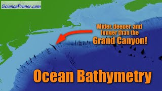
Global Mapper’s terrain analysis functionality has been featured in many webinars and presentations over the years. During this GeoTalks Express session, we take a plunge beneath the waves and explore many of these tools from a bathymetric perspective. Bathymetry is the study and measurement of the ocean floor and as such, is the underwater equivalent of topographic analysis. In this light, we show how to generate bathymetric contours, we calculate volumes and create a modified seabed surface to simulate the channel dredging process, and we create a path profile and conduct 3D measurements of a planned seafloor cable.
If you enjoyed this video, you may also find these other resources useful:
The Surface Under the Water – A Guide to Bathymetric Data in Global Mapper https://www.bluemarblegeo.com/thesur...
The Surface Under The Water – A Guide To Bathymetric Data In Global Mapper • The Surface Under The Water – A Guide...
Bathymetric Data in Global Mapper Overview • Bathymetric Data in Global Mapper Ove...
For more information, visit bluemarblegeo.com.